Top-Rated Drone Surveying Company in Peterborough
At MK4Electrical Services, we take pride in delivering precise, efficient, and cost-effective drone survey services across Peterborough and surrounding areas. Whether you’re a construction professional, property developer, or environmental agency, our team offers industry-leading aerial drone surveys tailored to your project’s needs. If you’re searching for drone surveys near me, look no further—MK4Electrical is the trusted local choice.
Why Choose MK4Electrical Services?
As a Peterborough-based drone surveying company, we combine advanced UAV technology with extensive industry knowledge to deliver actionable data safely and swiftly. Our licensed operators and CAA-compliant procedures ensure that every mission meets the highest safety and legal standards. We’re committed to accuracy, fast turnaround, and client-focused solutions, making us one of the most reliable drone survey companies in the region.
- Licensed and insured drone operators
- High-resolution imaging and data accuracy
- Fast data turnaround
- Safe access to hard-to-reach areas
- Experienced survey & engineering team
Our Drone Survey Services in Peterborough
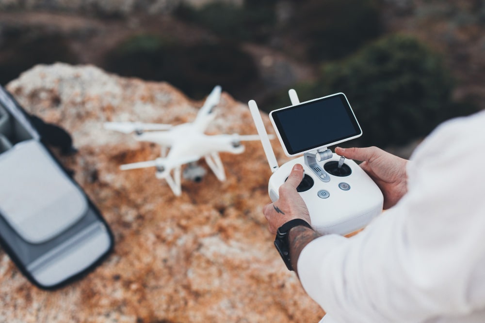
Aerial Photography & Videography
Capture stunning visuals from above for promotional, planning, or documentation purposes. Perfect for showcasing property developments, marketing real estate, or assessing large sites.
Topographic Surveys
We deliver high-resolution topographic maps to support planning applications, engineering designs, and land development projects with precision and clarity.
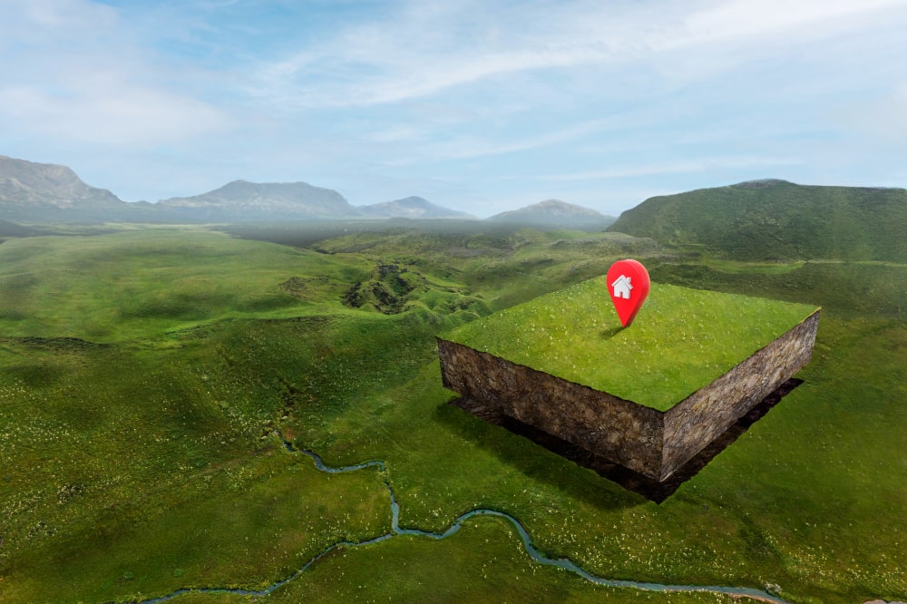
3D Mapping & Modelling
Our 3D drone mapping services provide detailed models of terrain, buildings, and infrastructure—ideal for BIM applications, volume calculations, and visual planning.
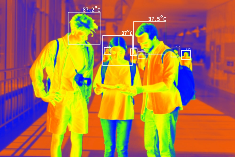
Thermal Imaging
Detect heat loss, moisture issues, and electrical faults with our advanced thermal imaging capabilities. A valuable tool for energy audits and safety assessments.
Roof & Structural Inspections
Avoid the cost and risk of scaffolding with a drone roof survey near me. We provide high-definition imagery and reports for insurance, repair planning, and compliance.
Progress Monitoring
Track construction or development projects over time with regular drone surveys. Our time-lapse data helps you keep stakeholders informed and ensures your project stays on track.
Industries We Serve
Construction & Engineering
We support contractors, civil engineers, and project managers with real-time insights, progress reports, and terrain data to optimise workflows and reduce costs.
Agriculture
From crop health analysis to irrigation planning, our drones help farmers make informed decisions that increase yield and efficiency.
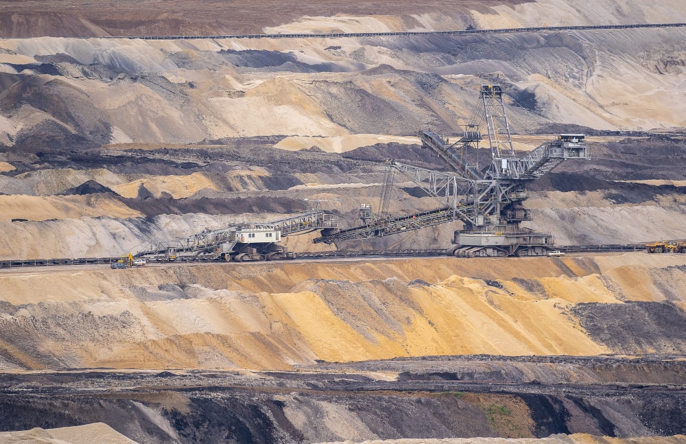
Mining & Quarries
Gain precise volumetric data, site safety analysis, and 3D terrain models without interrupting daily operations.
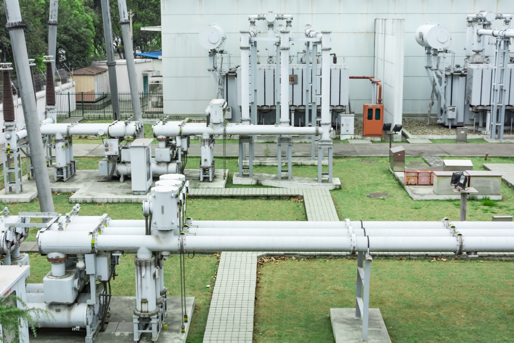
Utilities & Infrastructure
Our drone surveying and mapping solutions assist in monitoring power lines, pipelines, and telecom networks across hard-to-reach areas.
Property & Real Estate
Enhance your property listings or conduct pre-purchase surveys with high-quality aerial photography and site assessments.
Environmental Agencies
Monitor habitats, track erosion, and assess environmental impact with our accurate and non-intrusive aerial survey data
How It Works (Step-by-Step Process)
- Contact & Consultation: Start by getting in touch. We’ll discuss your requirements, objectives, and the best approach for your drone survey.
- Site Visit & Risk Assessment: Our team visits your location in Peterborough to evaluate safety, flight zones, and any regulatory considerations.
- Aerial Survey Execution: Using state-of-the-art drones, we carry out the aerial survey, capturing detailed data from every angle.
- Data Processing & Reporting: We process raw data into usable formats such as 3D models, orthomosaic maps, and thermal reports.
- Delivery of Results: You receive your final deliverables in your chosen formats—CAD, GIS, PDF, or others—ready to integrate into your workflow.
Serving Businesses Across Peterborough
At MK4Electrical Services, we specialise in providing high-quality drone surveying and mapping solutions across Peterborough. No matter where your project is based, our experienced team is ready to deliver fast, accurate, and reliable drone mapping services. If you’re looking for a trusted drone surveying company near me, MK4Electrical Services is proud to be the first choice for businesses and property owners throughout the Peterborough region.
FAQs About Drone Survey Services
Do I need special permissions for a drone survey?
How accurate is a drone survey?
What types of data can I expect?
How many cameras do I need?
Contact Us for a Free Quote
Ready to take your project to new heights? Contact MK4Electrical Services today for a free, no-obligation quote on your drone survey services in Peterborough. Whether it’s mapping land, inspecting a roof, or monitoring a site, our experienced team is here to help.